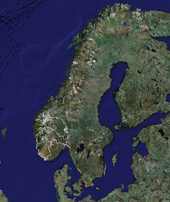
June 2006From June 10 til July 2 we spent 3 weeks of our vacation touring the southern part of Norway. The map on the right is an alternative link to a larger map showing the approxmate locations of the sites below. (Open this link: http://abdallah.hiof.no/2006_june/June_2006.kmz in Google Earth for the complete track. Gaps or straight lines in the track are usually caused by bad GPS reception in the shadow of high mountains, tunnels, the hold of ferries, etc.) NB!The images below are a mix of still photos and interactive panoramas (marked "•"). Click the picture for a bigger version. When a panorama opens, double-click to enter and exit full screen. Click, hold and drag or use the arrow keys to view - CTRL and Shift to zoom. |
|
|||
|
JUNE 10, BORGUND STAVKIRKE |
||||
 • |
 • |
 • |
 • |
|
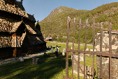 • |
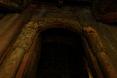
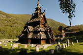
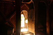
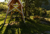
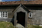
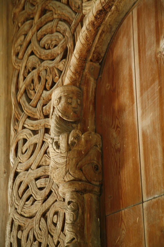
Borgund Stave church was built in the 12th century and is virtually unchanged since then. It is one of 28 remaining of the estimated 1000 wooden churches from the Middle Ages. The building and the separate belfry are both owned by the Sogn And Fjordane section of The Society for the Preservation of Norwegian Ancient Monuments. The belfry at above right is a temporary structure used while the original (beyond the church in the second picture from left) was being repaired. (N61.048810° E07.813792°) | |||
|
|
||||
 |
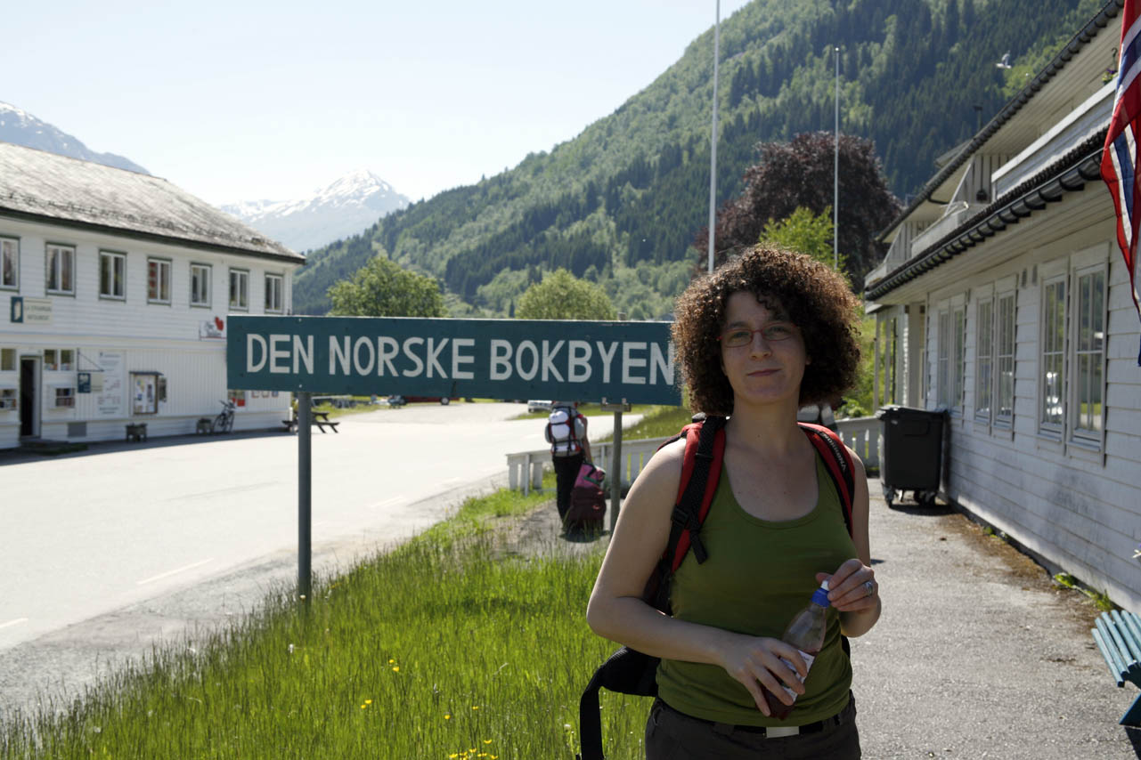 |
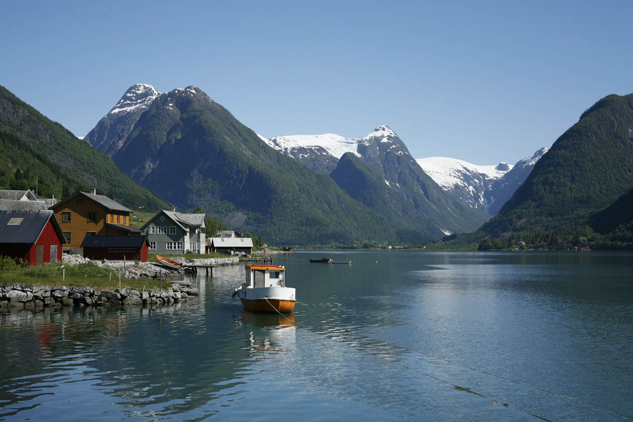
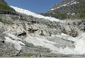
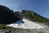
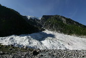
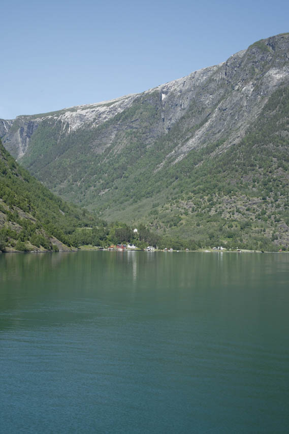
1. To the left Fjærlandsfjorden; 2. Toufoul in the Norwegian Book Town, Fjærland. (N61.401606° / E06.739816°). 1. below; Boyabreen - Boya glacier (N61.487218° / E06.757709°). 2. Dalavatnet, 3., 4. and 1 on lower line; the Glacier Museum at Fjærland. (N61.422962° / E06.762052°) 2., 3., and 4 on the lower line are from Supphellarbreen. (N61.465014° / E06.821663°) |
||
 • |
 • |
 • |
 • |
|
 • |
 • |
 • |
 • |
|
|
|
||||
 |
 |
 |
 |
|
 |
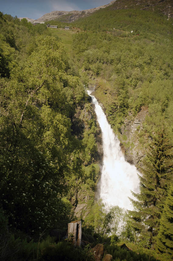 |
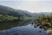
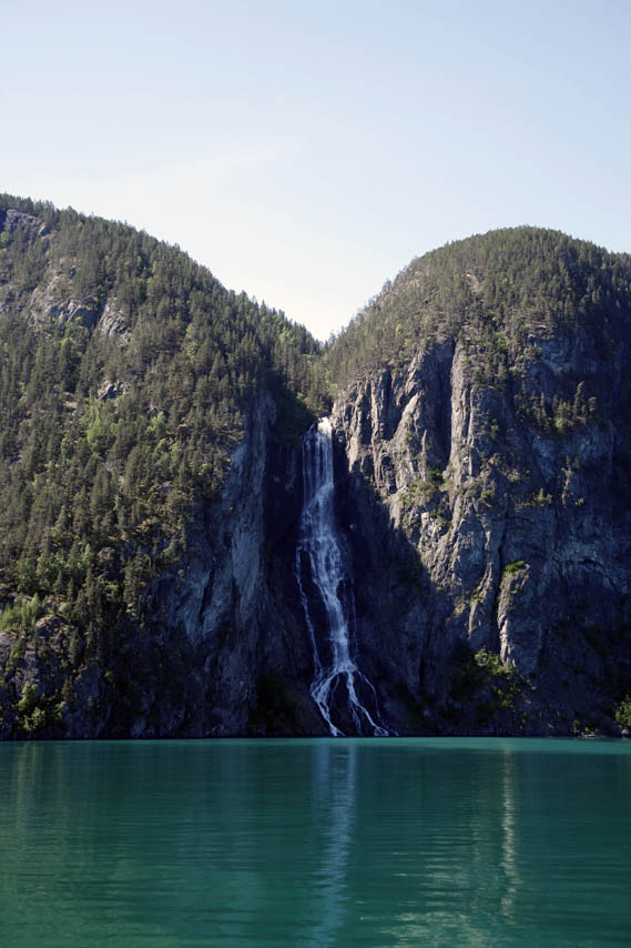
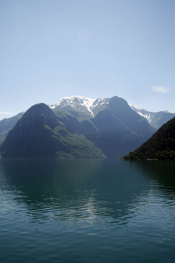
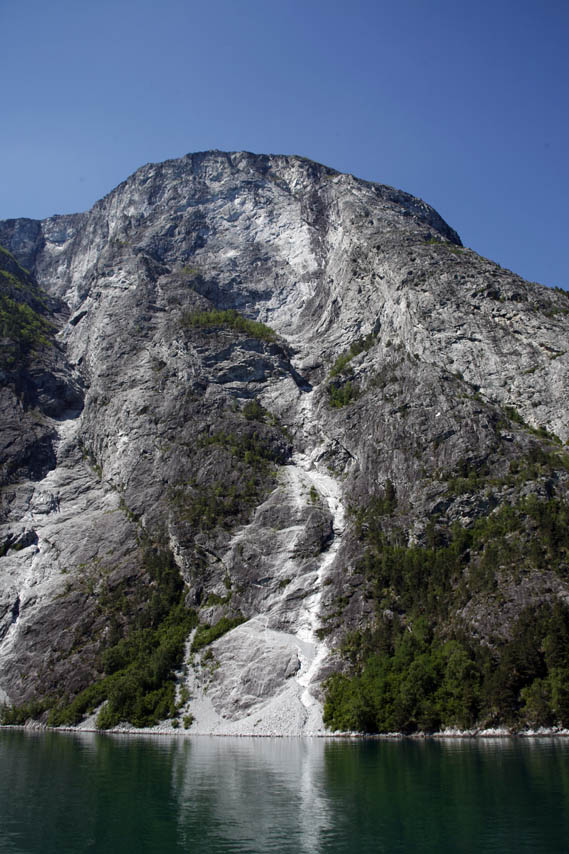
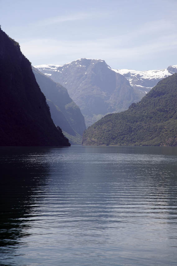
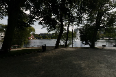
The 4 pictures above and nr. 1 to the left are from the ferry from Kaupanger (N61.182565° / E07.251083°) to Gudvangen (N60.881745° / E06.843123°) in the inner part of the Sognefjord. Nr. 1 to the left is from Dyrdal near Gudvangen. Like many others in the deep fjords, this farming community has no no road connection with the national grid. Nr. 2 is from Stalheimskleiva on the old road up from Gudvangen. Notice the farm at the top. | ||
|
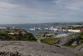
JUNE 16, STAVANGER KATEDRALSKOLE |
||||
 • |
 • |
 • |
 • |
|
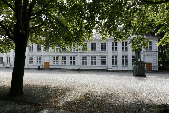 • |
Stavanger Katedralskole, "Kongsgård" was built between 1600 and 1800 and has recently undergone major restoration. There has been a school at this site since 1260. The present high school is ranked as the second in the country. (N58.969060° / E05.732490°) | |||
|
|
||||
 • |
 • |
 • |
 • |
|
 |
 • |
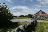
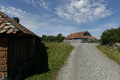
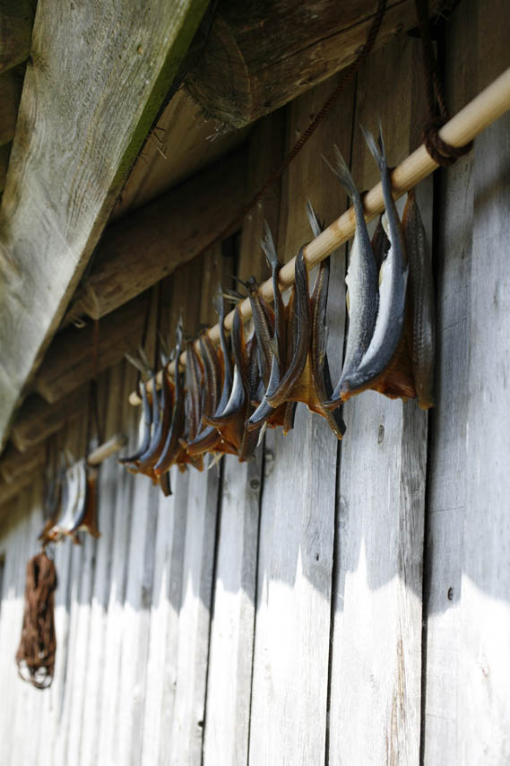
Grødaland on the Jæren peninsula is a traditional farm from the 18th and 19th centuries. Like many farms along the coast it combined farming and fishing. It is now preserved as a local museum of everyday life. (N58.636400° / E05.600184°) Far left: Herring hung to dry at Grødaland. Left: Panorama of Sirevåg at the southern end of Jæren taken from the top of a German fortification from WWII. (N58.500150° / E05.797576°) |
||
|
|
||||
 |
 • |
 • |
 |
|
 |
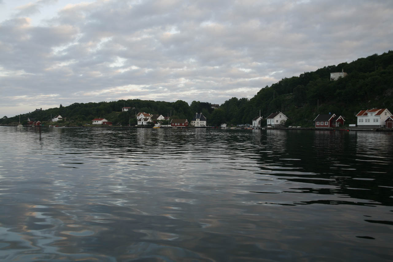 |
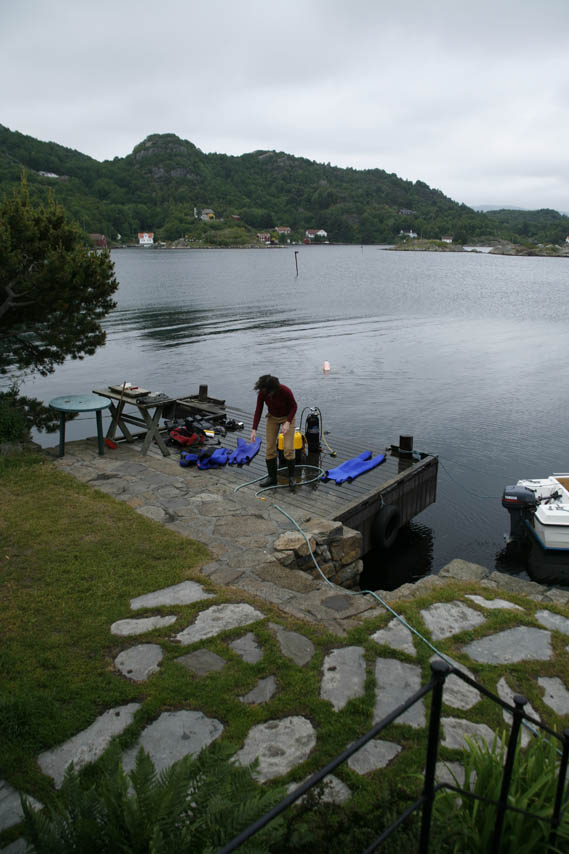
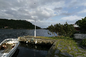
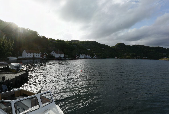
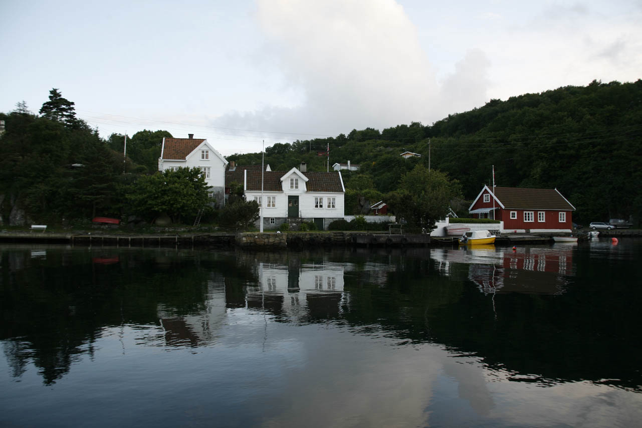
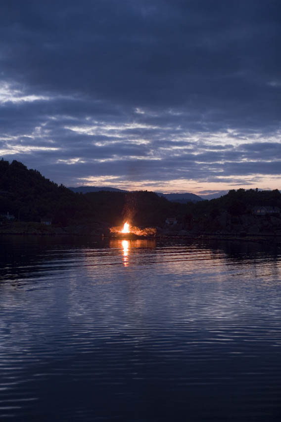
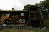
Eikvåg at Lista. Clockwise from upper left. Toufoul washing out the wet suits. View to the south from the house. Another panorama towards the north. The house (Malakka) from the harbour. The west side of Eikvåg. Bonfire on midsummers night. (N58.069435° / E06.813227°)- | ||
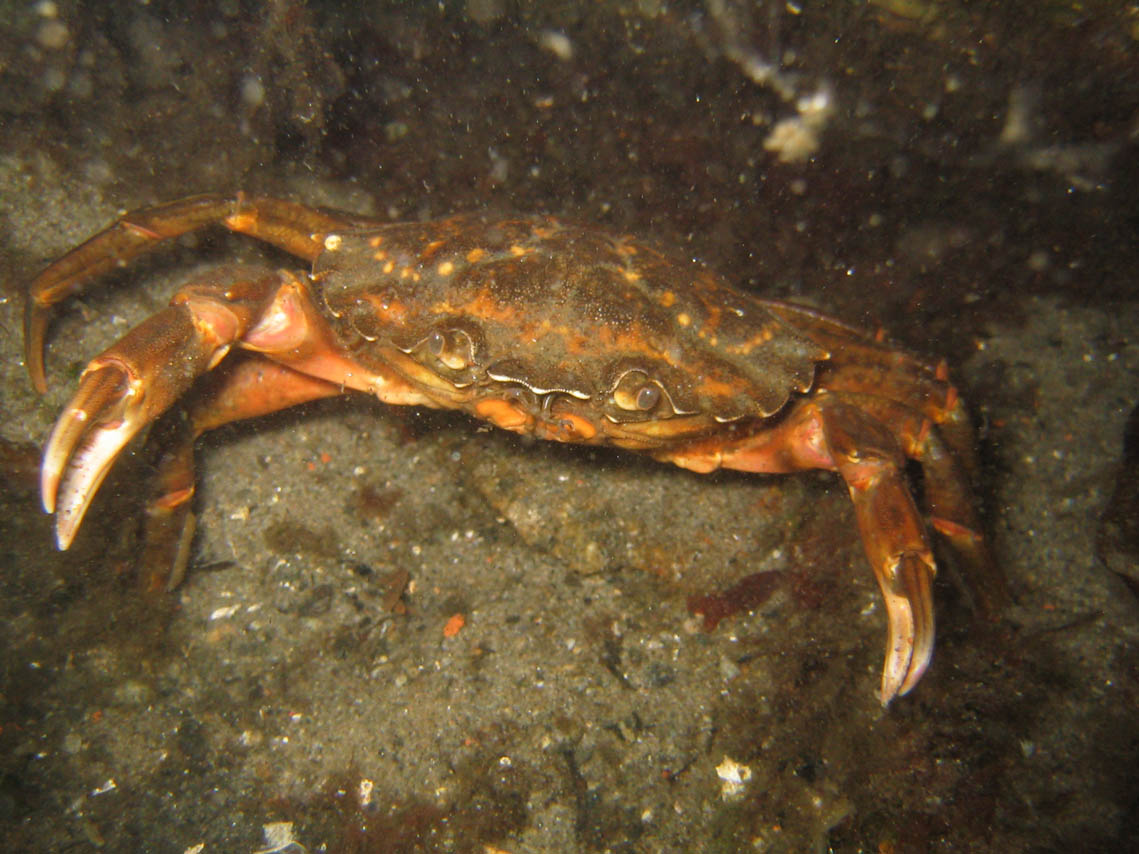 This crab lives just outside the quay in front of the house. |
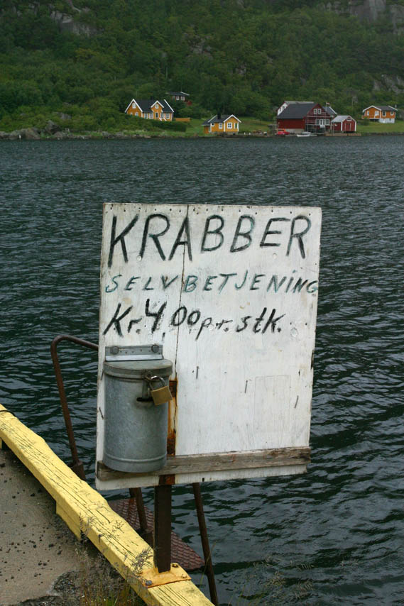 |
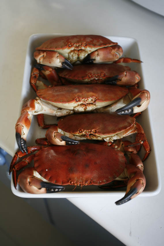
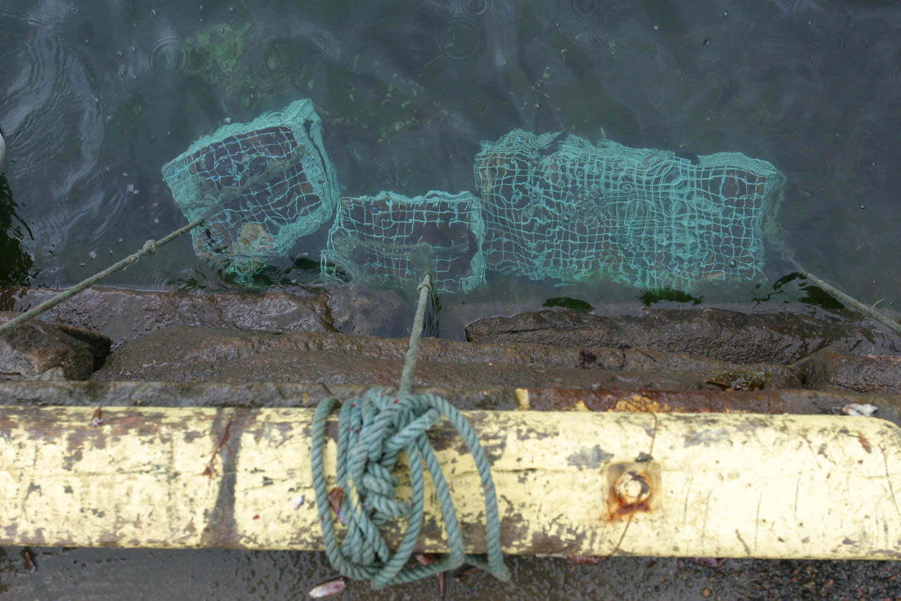 Live crabs for sale by self service at Sigersvold quay (N58.176319° / E06.697900°) in the north west corner of Lista. Pay 4 kr. (60¢) at left, haul up chest (above) and cook for 15 minutes. Wait to cool (right) and eat! |
 |
|
 |
 • |
 • |
 • |
|
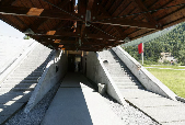
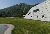
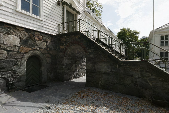
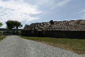
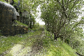
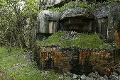
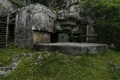
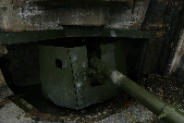
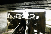
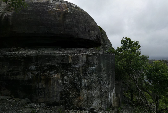
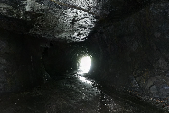
| Varnes Fort. A preserved fortification site built by the Germans during WWII to protect the approaches to the ports in the fjords north of Lista from where precious metals were shipped. The site consists of the remnants of the concentration camp that housed prisoners used during construction, an extensive tunnel system for ammunition and access (below right), an observation bunker and two casemates for 110mm Scneider canons. (N58.177414° / E06.637264°) | ||||
 • |
 • |
 • |
 • |
|
|
|
||||
 • |
 • |
 • |
 • |
|
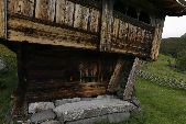 • |
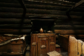
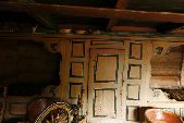
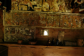
Rygnestadtunet, Valle in Setesdal. From the 16th century, abandoned in 1920, preserved as museum in 1940. (N59.262348° / E07.490275°) www.setesdalsmuseet.no/ | |||
|
|
||||
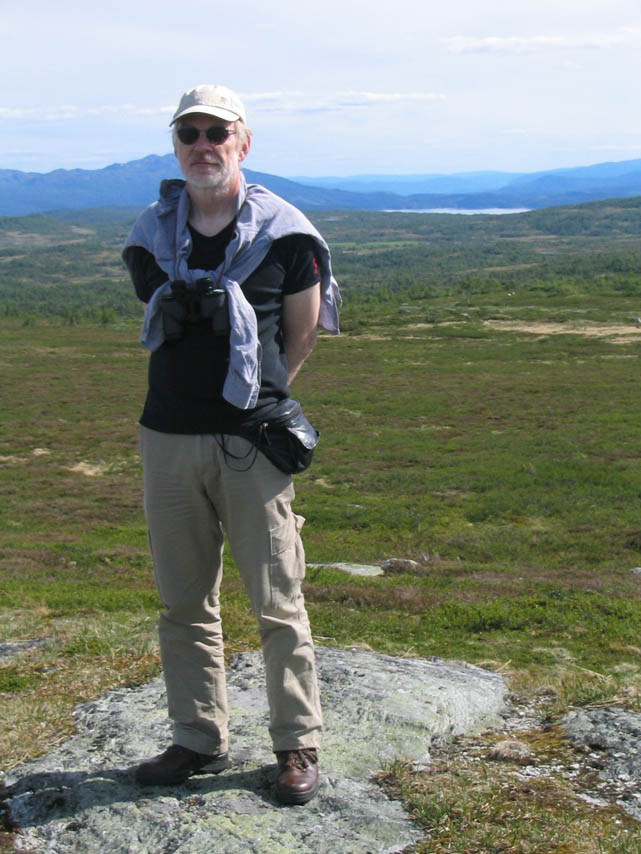 Børre with tired feet trekking on Hardangervidda. (N59.803655° / E08.059344°) |
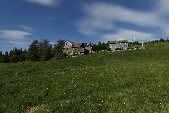
 Songavatn hydroelectric dam. That much cheap power has been sold to Europe so far this year and even more expensive and dirty fossil fuel power will have to be bought back from Europe next winter. (N59.821966° / E07.561178°) |
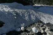
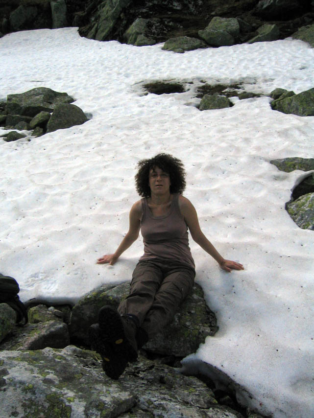 Toufoul in old snow. (N59.809627° / E08.015833°) |
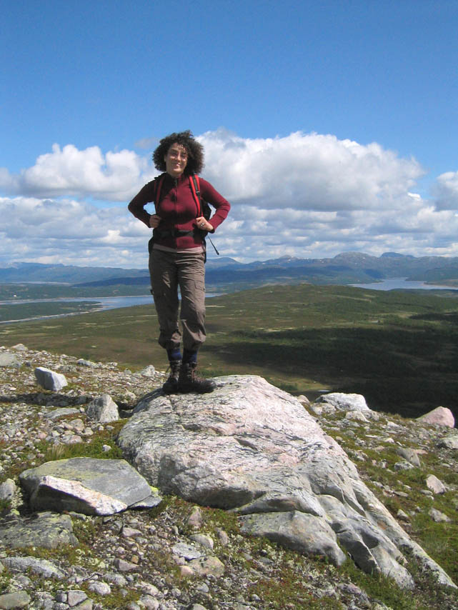 Toufoul at 1100 meters above sea level.N59.809663° / E08.011616° |
|
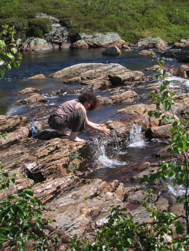 Fetching fresh drinking water from a stream. (N59.765781° / E08.041373°) |
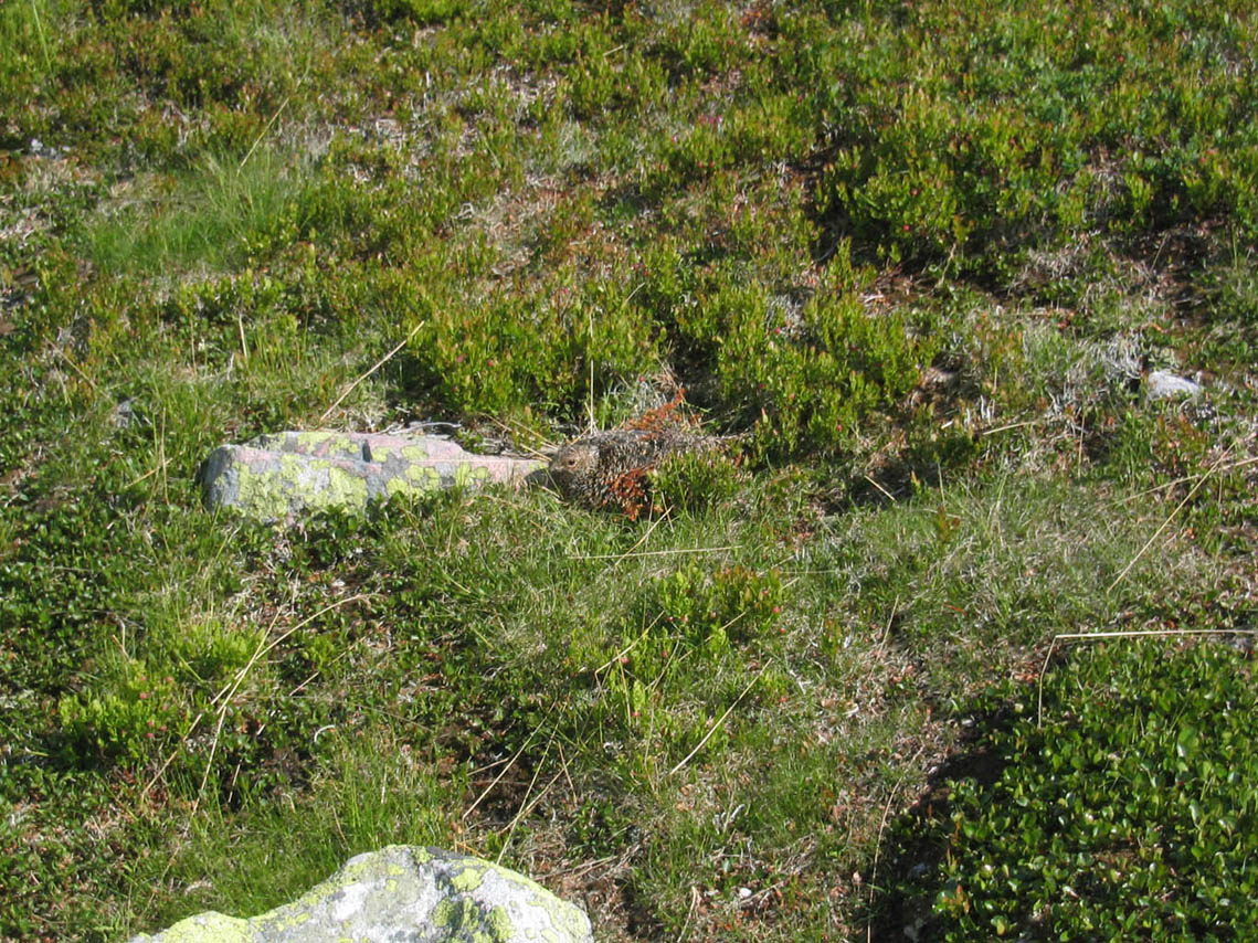 We almost stumbled over this grouse on its nest. |
 • Sporaneset on Lake Totak at Rauland. There are 3000 year old rock carvings on this rock. (N59.709243° / E08.023057°) |
 • An old pine tree near the shore. (N59.708696° / E08.025090°) |
|
 • Nordtun farm, Rauland. (N59.705813° / E08.031753°) |
||||
|
|
||||
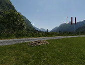
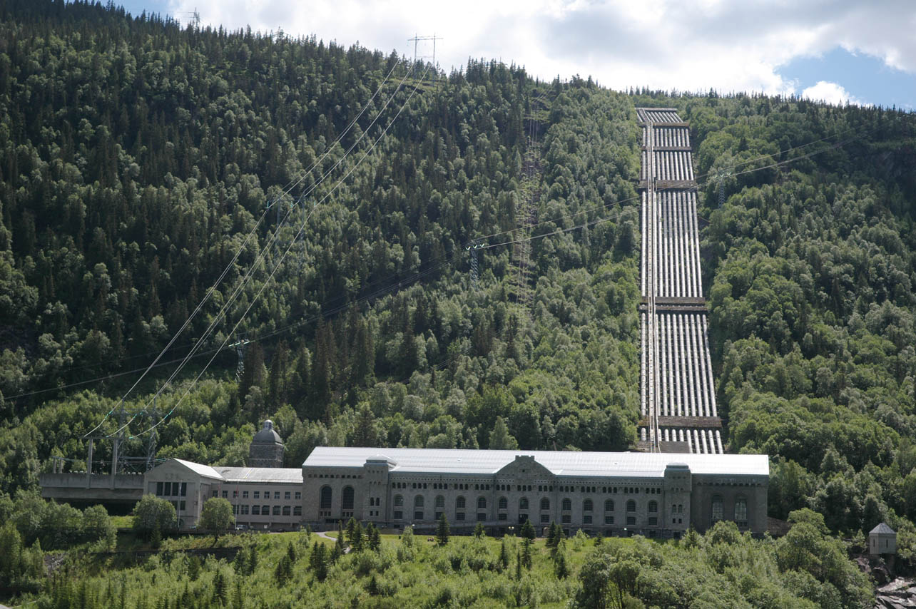 The old power station at Rjukan. The hydrogen plant in front of this building which produced heavy water was demolished in the early 1970s. (N59.871053° / E08.490965°) |
 |
 |
 |
|
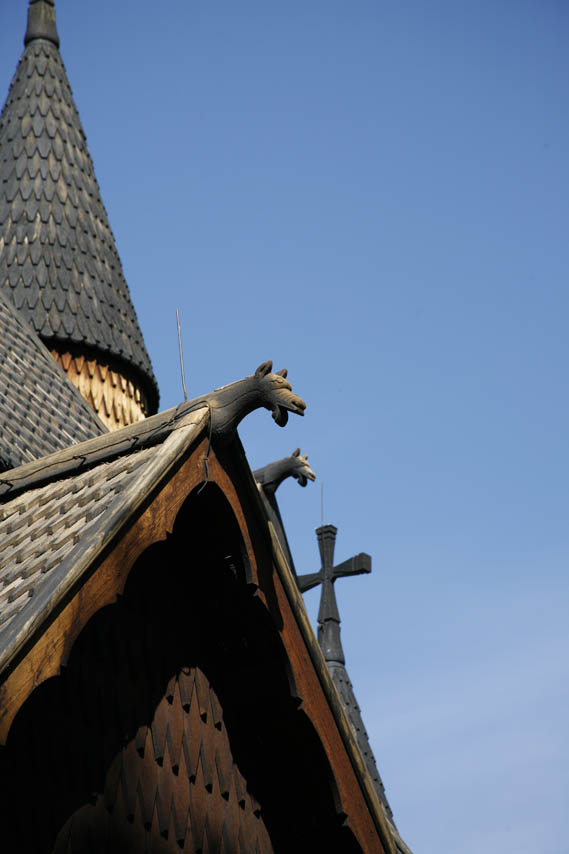
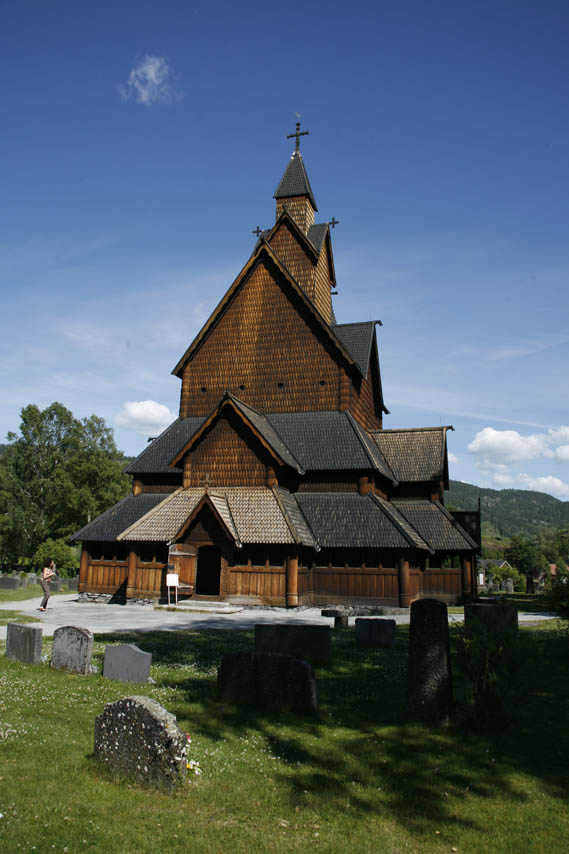
| Heddal Stavechurch - the country's largest of the remaining 28 stave churches, was built during the 13th century AD. It still serves as church for the local community. (N59.579519° / E09.173313°) | ||||
|
Last modified: Mon Jun 17 08:49:34 2019 /bl | ||||